
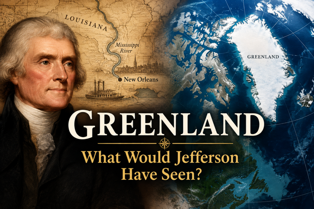
In 1802, Thomas Jefferson looked at a map of North America and became deeply concerned about a piece of land the United States did not own. It was not particularly large. It was not even a territory. It was a city. New Orleans.
To understand Jefferson’s concern, look at the map as he did. The young United States was pushing westward, and much of that growing nation depended upon the Mississippi River to carry its produce to market.
The Mississippi was their highway. And New Orleans was the gate at the end of it.
For years, Spain had controlled Louisiana. That was manageable. Then France, under Napoleon Bonaparte, acquired Louisiana from Spain.
The river had not moved. New Orleans had not moved. America’s farmers had not moved.
The power controlling the gateway had changed.
Jefferson understood the implications. In an 1802 letter to the American minister in France, Robert Livingston, he identified New Orleans as the one place whose possessor could become America’s natural enemy.
His reasoning was fundamentally geographical. A powerful nation controlling New Orleans could potentially control the commercial lifeline of the American West.
Jefferson sent James Monroe to join Livingston in negotiations aimed principally at securing New Orleans. Napoleon surprised them by offering something much larger: Louisiana itself.
The result was the Louisiana Purchase of 1803.
But before it became a story about expansion, it had been a story about security.
More than two centuries later, Americans might look at another map. This time, look north.
Far north.
Sitting between North America and the Arctic Ocean is Greenland.
It may appear remote from the concerns of most Americans. It has a small population, enormous expanses of ice, and remains within the Kingdom of Denmark.
But maps can be deceptive when we look at them politically rather than strategically.
Greenland sits along the northern approaches to the North American continent. Aircraft, missiles, submarines and increasingly important Arctic routes do not recognize the psychological distance created by the classroom map.
From the standpoint of continental defense, Greenland is not simply a distant European possession. It is part of North America’s northern neighborhood. That helps explain the significance of the agreement signed on September 22, 2026, by the United States, Denmark and Greenland.
The agreement does not make Greenland American territory. Danish sovereignty remains, and Greenland’s right of self-determination is expressly recognized. Instead, it strengthens the longstanding American defense presence and provides extensive military access by land, sea and air in support of the defense of Greenland, the NATO area and the American continent.
This is not another Louisiana Purchase.
But there is a Jeffersonian question hiding beneath it.
What happens when geography places territory you do not own at the center of your own national security?
Jefferson’s first answer was diplomacy. America did not own New Orleans, but he wanted an arrangement that protected American access and American interests. Only when Napoleon unexpectedly offered Louisiana did the transaction become something much larger.
Greenland presents a modern variation of that old strategic problem.
The United States does not need sovereignty over Greenland to recognize its importance. It needs assurance that the territory does not become a strategic vulnerability to North American defense.
The players are different.
The technology is unimaginably different.
The political relationships are different.
But the map remains stubbornly important.
The Founders lived in an age when Americans were acutely conscious of geography. They understood that oceans, rivers, ports, mountain ranges and neighboring territories could determine the security of a nation long before an enemy ever crossed its border.
They did not have satellites.
They did not have intercontinental missiles.
They did not have nuclear submarines beneath Arctic ice.
But they understood maps.
Jefferson looked south toward New Orleans and recognized that a small point on the map could have consequences for an entire continent.
More than two hundred years later, Americans might look north toward Greenland and ask much the same question:
What does the map tell us?
Sometimes history does not repeat itself.
Sometimes geography simply refuses to change.